by Barbara J. Wood
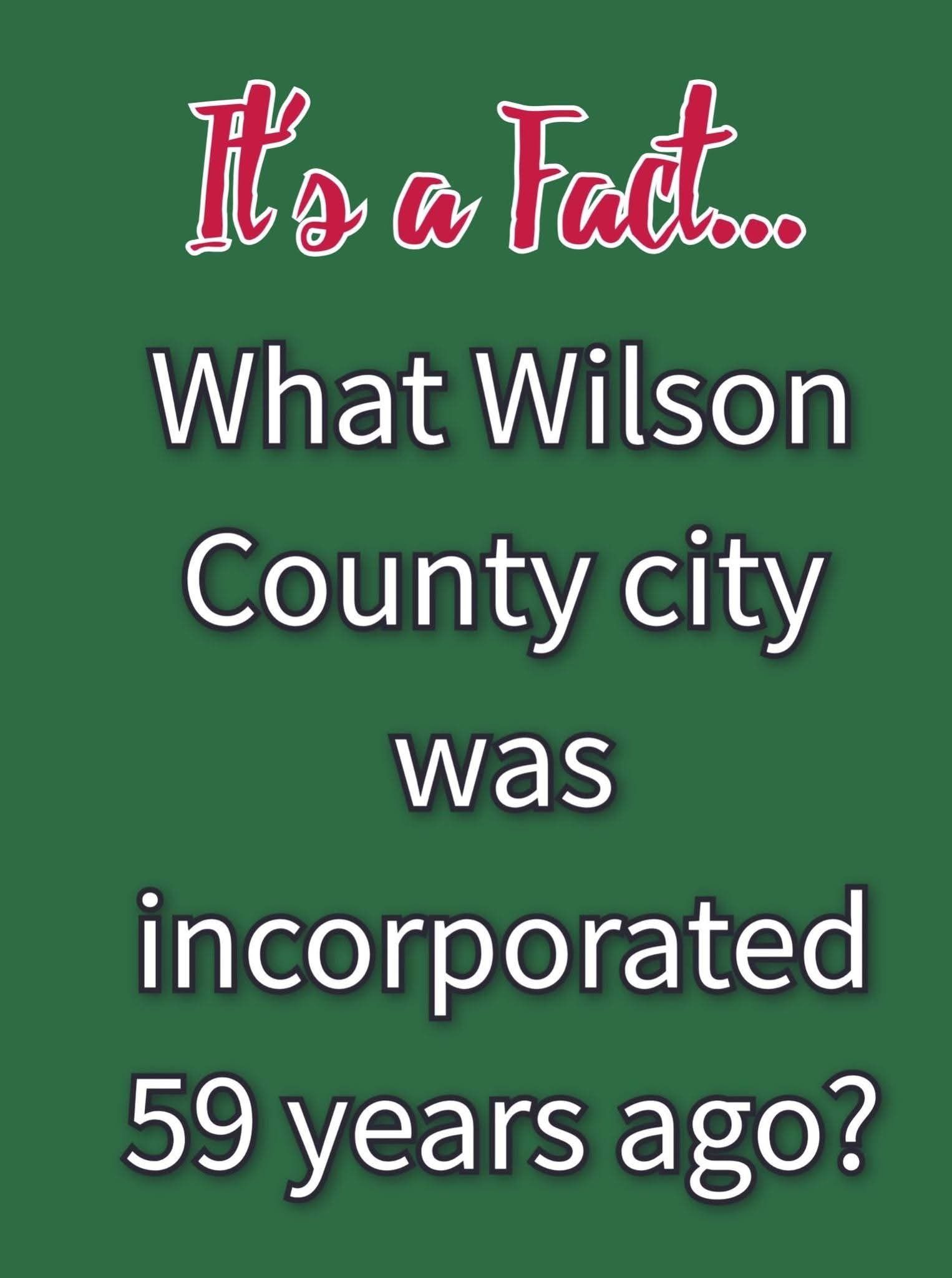
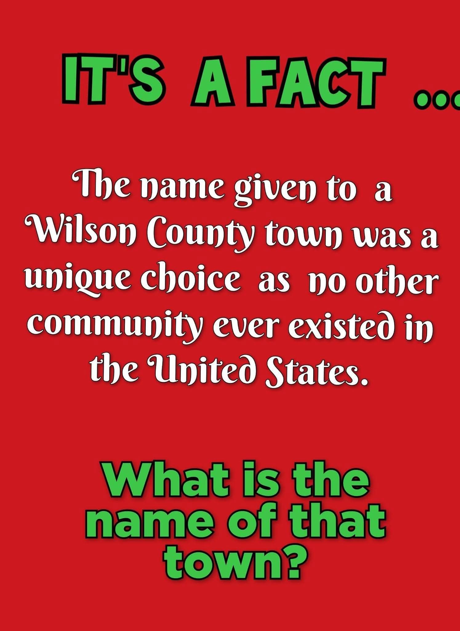
IT'S A FACT
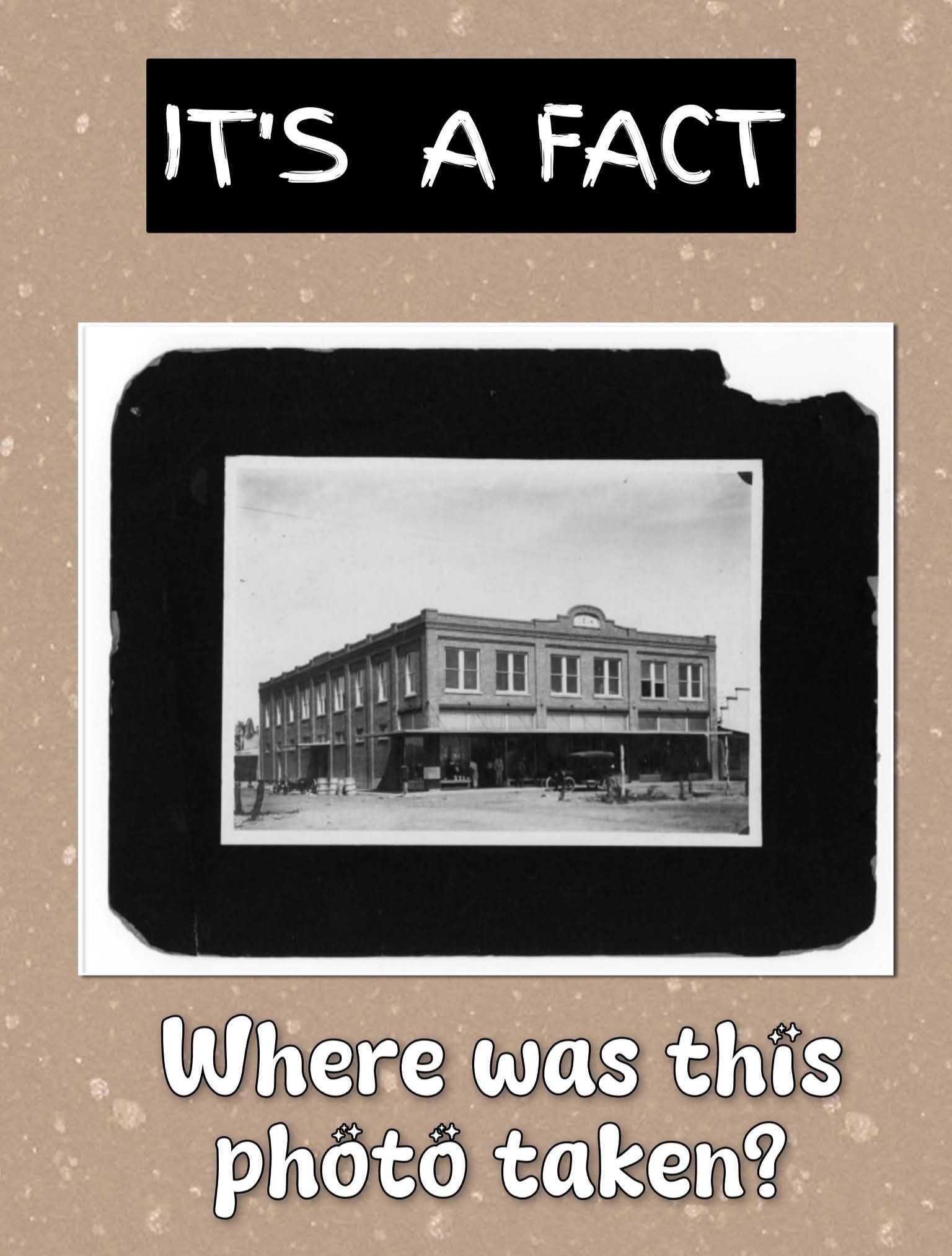
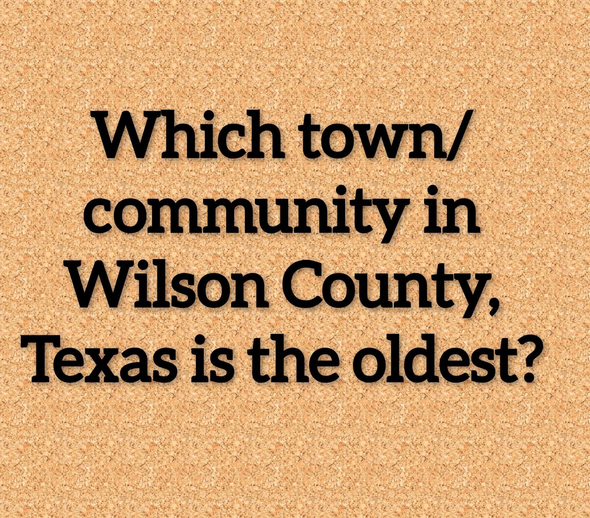
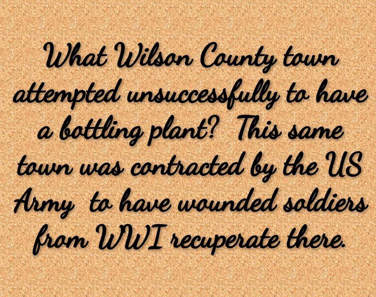
Glenn West "guessed" correctly with the city of La Vernia. La Vernia, Texas, is an incorporated city in Wilson County, Texas, officially becoming a city May 21, 1966, though it was a community and settlement long before, growing from a post office in the 1850s into a small town with businesses and schools.